About Us
A bathymetric survey is an accurate model of the bed of a body of water.
Traditional bathymetric surveys require labour-intensive and time-consuming practices using manned vessels equipped with sophisticated equipment. Surveyors face challenges involving safety and accessibility, especially in shallow waters and where hazardous waste or obstructions exist.
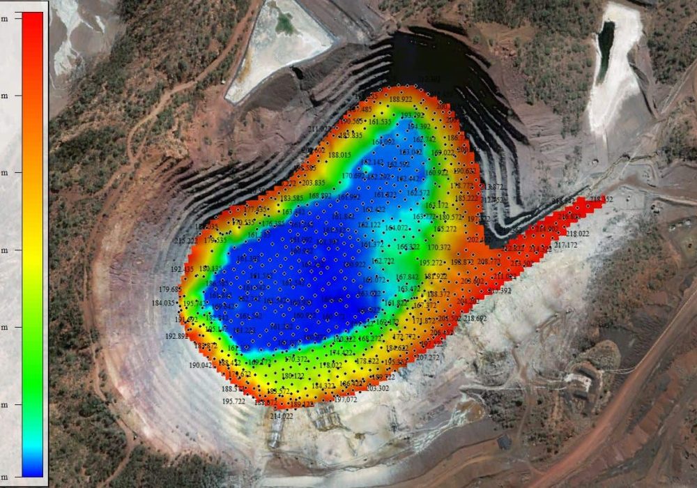
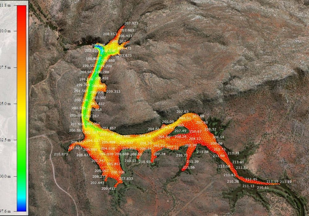
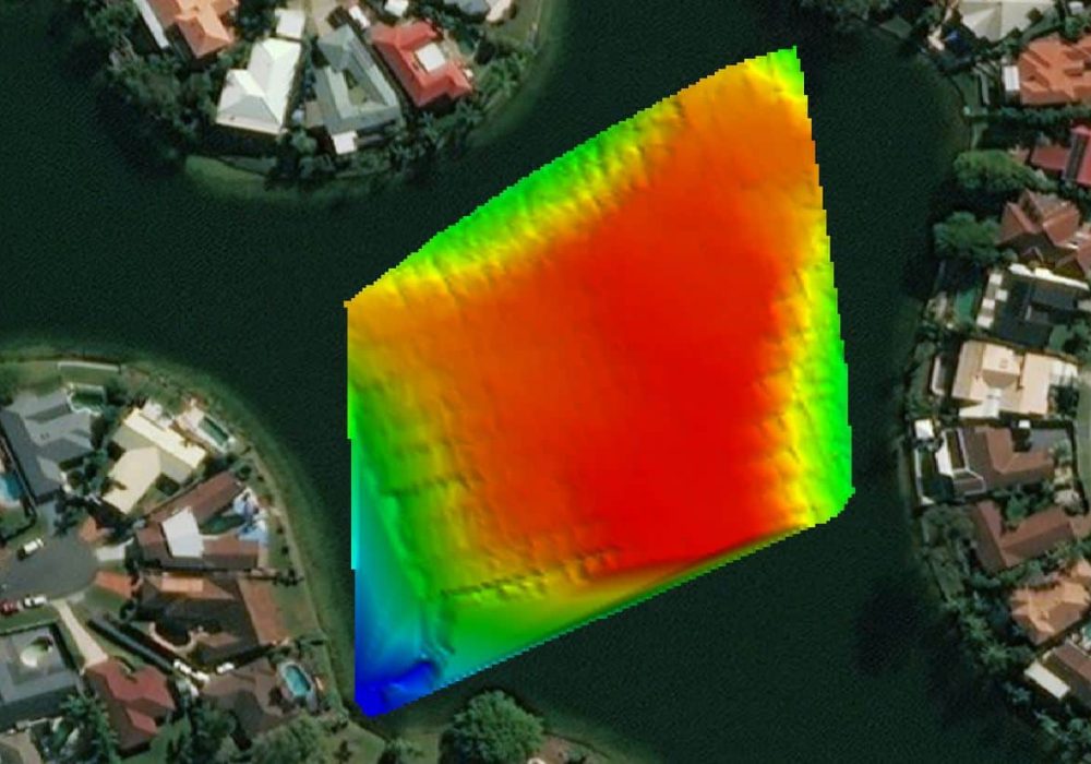
Using purpose-built remotely operated watercraft equipped with state-of-the-art sensors, we gather reliable and insightful data to assist with monitoring or construction designs while minimising the safety risks of sending personnel out onto the water. Easy to launch and manoeuvre around obstructions, our vessels can be deployed in small or constricted water bodies where a manned vessel would be impossible to operate.
Bathometric boats can be used in all terrestrial habitats, for uses such as:
- Creek and river bed mapping
- Mapping post dredging of harbours
- Limited accessible water sources
- Water sources required to maintain and limit contamination.
- Shallow water mapping under 100m
- Sediment and sand shifting mapping
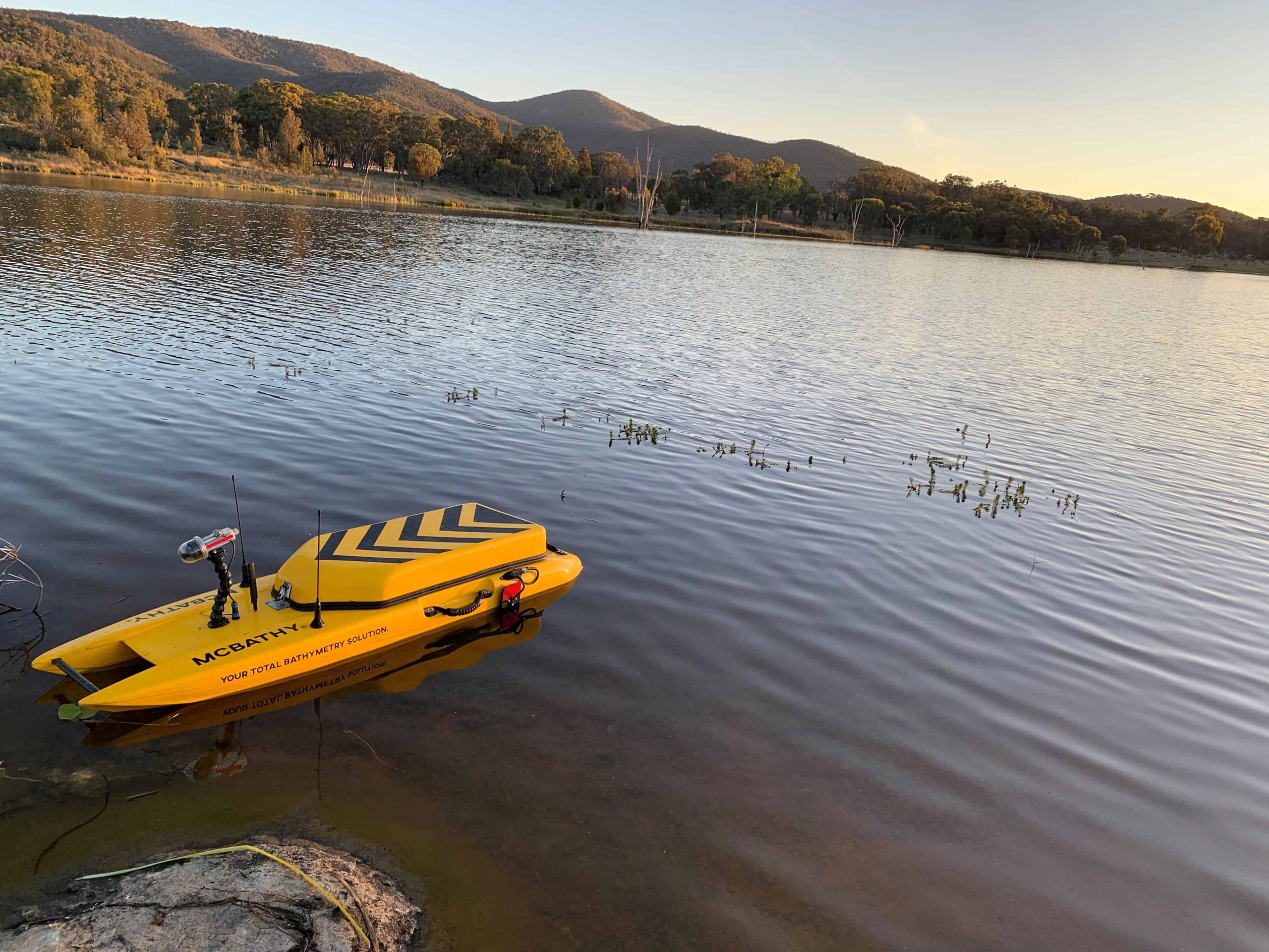
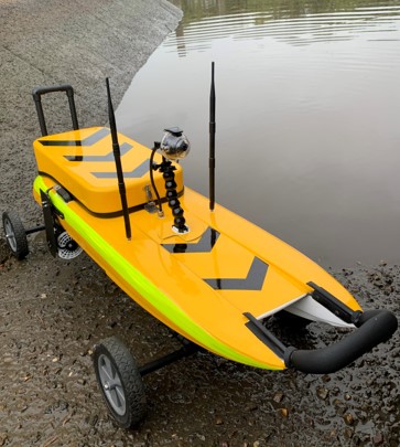
McBathy key features
- Entry level price with all the useful features
- Heavier payload at 28kgs
- Stable hull design, with minimal roll at survey speeds
- Externally mounted RTK GNSS systems for limited shadow effect
- Data transmitted to the shore in real-time and real-time video surveillance giving point clouds, underwater contours, 3D profiling, and sidewall mapping data.
- RTK compatible
- PPK compatible Raw UBX (rinex Data collect)
- Side scan video and down scan files
